Snæfell
On clear days, Snæfell looks stunning, the black-streaked flanks rising above desolate moorland to a brilliant, snowy pyramidal tip – a view worth building into 14-day Iceland trips if the weather cooperates; sadly, the usual vista is of the lower base vanishing into cloud. There’s a sealed road running south off Route 910 which ends up at a viewpoint above the little Kelduá reservoir, just 5km east of Snæfell; the white glow south from here is Vatnajökull, and the 15km-long valley in between is Eyjabakkar, annual nesting grounds for upwards of three thousand pairs of pink-footed geese. Original plans to flood this valley for hydropower caused such widespread protests from environmentalists that the site was shifted to Kárahnjúkar.
The main road to Snæfell’s base is the four-wheel-drive-only F909, which winds out via several river crossings to the mountain’s west side. Once there, a 30km hiking track circuits Snæfell, which is also at the start of the long hike south to Lónsöræfi.
Tip from Rough Guides: Learn about the best ways to get to Iceland.
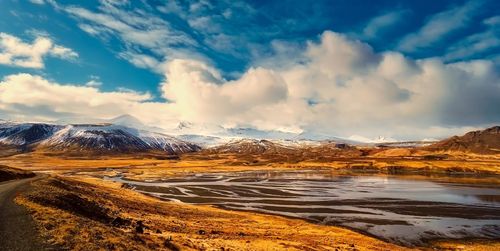
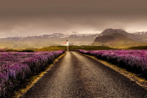
Top image: Roadtrip in Vatnajokull National Park, Iceland © Nokuro/Shutterstock