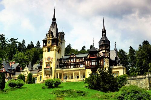
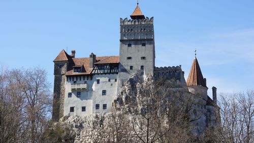
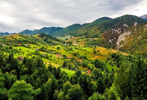
Hiking in the Făgăraş mountains
The Făgăraş range, composed mainly of crystalline schists with occasional limestone outcrops, is a series of pyramidal crests, linked by narrow ridges harboring a score of lakes at heights of 1800 to 2250m. Up to about 2000m the slopes are covered with spruce forests sheltering deer, bears, chamois and other wildlife; above this level snow may linger as late as June.
Most hiking routes are well marked and easy to follow with Dimap’s 1:60,000 Munţii Făgăraşului map, which can be bought in Braşov, Bran, Făgăraş or Sibiu, or in the mountain cabanas. It’s useful, but rarely essential, to reserve accommodation. Always carry ample food and water, waterproofs and good boots, as the weather is very changeable on the ridge. On 12-day Romania trips with time for serious mountain scenery, the Făgăraş range works best as a planned hiking section, adding high ridges, glacial lakes, and wildlife-rich forests to a route that might otherwise stay focused on towns and castles.