#7 Explore the rice terraces of Banaue
Most people know the rice fields of Bali, or Chiang Mai in Thailand. But one of the most impressive rice fields, or terraces actually, can be found in the Philippines. Banaue is a municipality located in the province of Ifugao in the Philippines.
It is famous for its stunning rice terraces, which are often referred to as the "Eighth Wonder of the World." The terraces were built by the Ifugao people over 2,000 years ago and are still in use today for agriculture. Banaue is also home to several indigenous communities, and you can learn about their rich culture and traditions through various activities such as weaving workshops and cultural performances.
The town itself is small and quaint, but there are several accommodations available for visitors who want to explore the area.
Where to stay in Northern Luzon
There is a wide variety of accommodation in Northern Luzon, from little fan-cooled nipa huts on the beaches and shaded open-fronted huts to lovely beach resorts. Here’s where to stay.
The Zambales coast
Along The Zambales coast, travellers tend to head for the resorts of San Antonio-Pundaquit, the surfers’ hangouts of San Narciso, or the beachside Botolan midrange stays.
The Lingayen Gulf
The accommodation options in Lucap are largely uninspiring, so if you’re staying in the area for a few days, consider basing yourself in Bolinao. You can camp overnight on Governor’s Island, Children’s Island and Quezon Island.
Ilocos province
Vigan has some charming accommodation: old colonial hotels, mansions, and boutique stays.
Resorts around Pagudpud are a little pricier than similar establishments elsewhere. It’s always worth asking for a discount. Budget travellers should consider a homestay behind the main resorts on Saud Beach.
The Northeast
All the best accommodation in the northeast is in Baler, or around the beach at Sabang, which is a short tricycle ride from town.
The Cordillera
For the Cordillera stay in Baguio. Hotels in the centre can get quite noisy, so ask for a room away from the road; there are also a number of good choices outside town in peaceful pine forested areas. Artist-run Tam-awan Village also has traditional huts.
Kalinga province
The towns of Tinglayan and Tabuk have some half-decent, if limited accommodation. Away from them, expect simple lodges or local homes
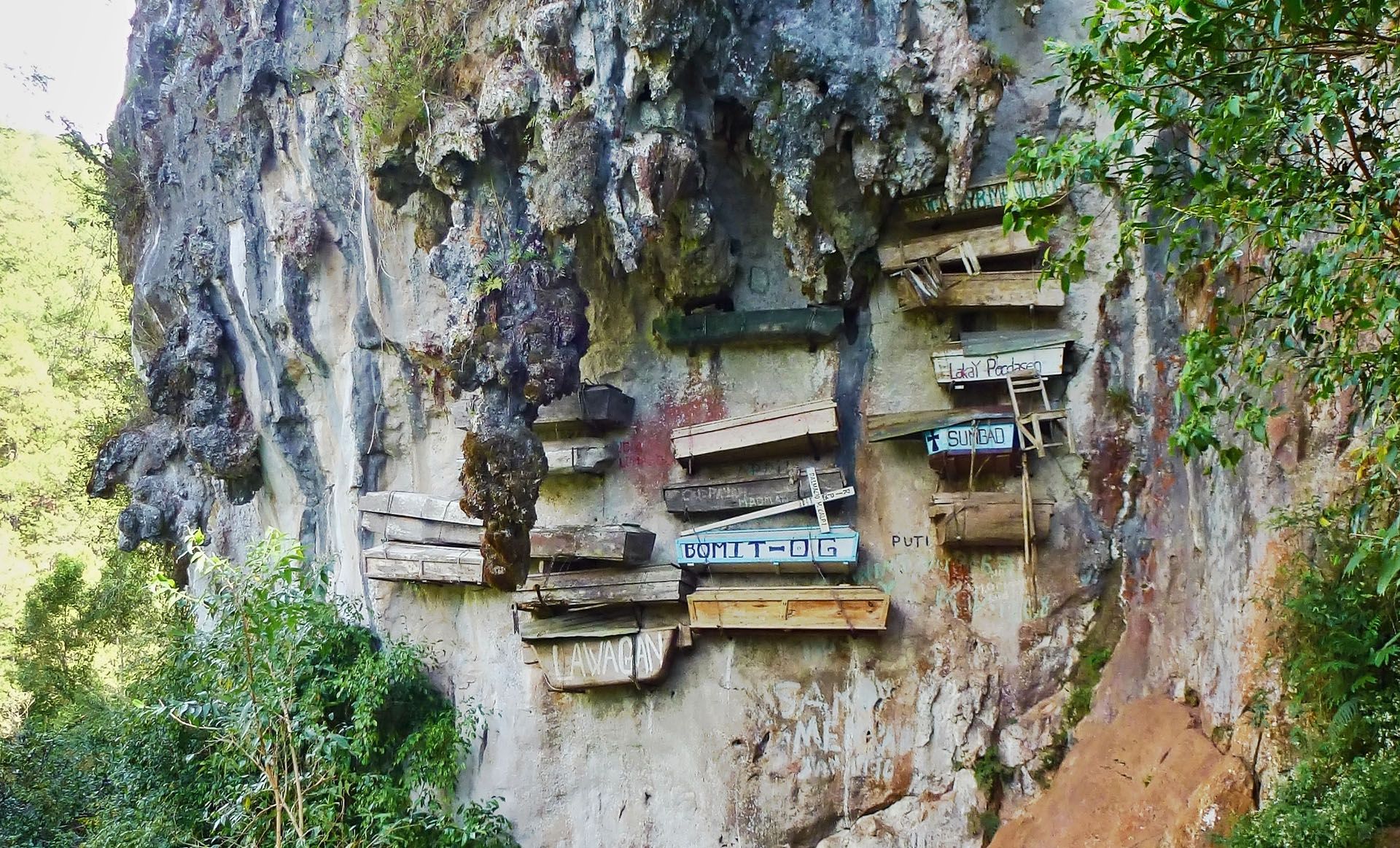
Ifugao Province
Banaue’s accommodation is generally simple but clean and friendly, and many places have restaurants attached. There are also B&Bs in Batad and Banga-an.
Batanes Province
There are no campsites in Batan, but as long as you respect the landscape no one minds if you pitch a tent for the night near a beach. Sabtang and Itbayat islands only really have small homestays.
Browse the best hotels in Northern Luzon.
Best restaurants and bars in Northern Luzon
If you're into fast food, it's time to fill your boot because Northern Luzon is stuffed with quick, takeaway joints. Aside from Baguio, the best meals will be served at resorts. Here's where to eat:
The Lingayen Gulf
Eating options are limited, although most hotels have their own restaurant. Reserve ahead for eating in the resorts of San Juan.
Vigan
Vigan doesn’t offer much in terms of restaurants, although make sure to try some local specialities, including the town’s famous crispy empanada.
The Northeast
Resorts around Pagudpud generally have good places to eat, else it's slim pikcings. Tuguegarao City mainly has fast-food restaurants and popular all-you-can-eat Filipino lunch buffets.
The Cordillera
Baguio has some of the best restaurants in the country. There is also a good selection of street food, including a couple of places beside Casa Vallejo hotel serving bulalo (beef on the bone in a broth).
Batanes Province
Several of the lodges in Basco have restaurants or can make food to order, while elsewhere on the island you’ll be reliant on the occasional small canteen.
Here are the best restaurants in Northern Luzon.
- Café by the Ruins, Baguio Located in a breezy setting, with tables dotted around the World War II ruins of the residence of Baguio’s first governor, this is one of the city’s best restaurants, with excellent organic food prepared with home-grown herbs and served either indoors or in the shady yard.
- Chef’s Home, Baguio The Malaysian owner and chef rustles up exceptional Asian fusion dishes embracing Malay, Thai and Indian cuisine. Dishes are large enough to share.
- Irene’s Empanadahan, Vigan This fourth-generation empanada place has been going strong since the 1930s – locals say it’s the best place in town to savour the Vigan speciality, which comes in several varieties, including pork, beef, chicken, (canned) tuna and, if you’re lucky, crab.
- Angel and Marie’s Place, San Juan The favourite surfers’ restaurant in San Juan offers serious fish dishes such as tuna steak or squid adobo, with banana chocolate crêpes for afters, and Filipino breakfasts at the weekend.