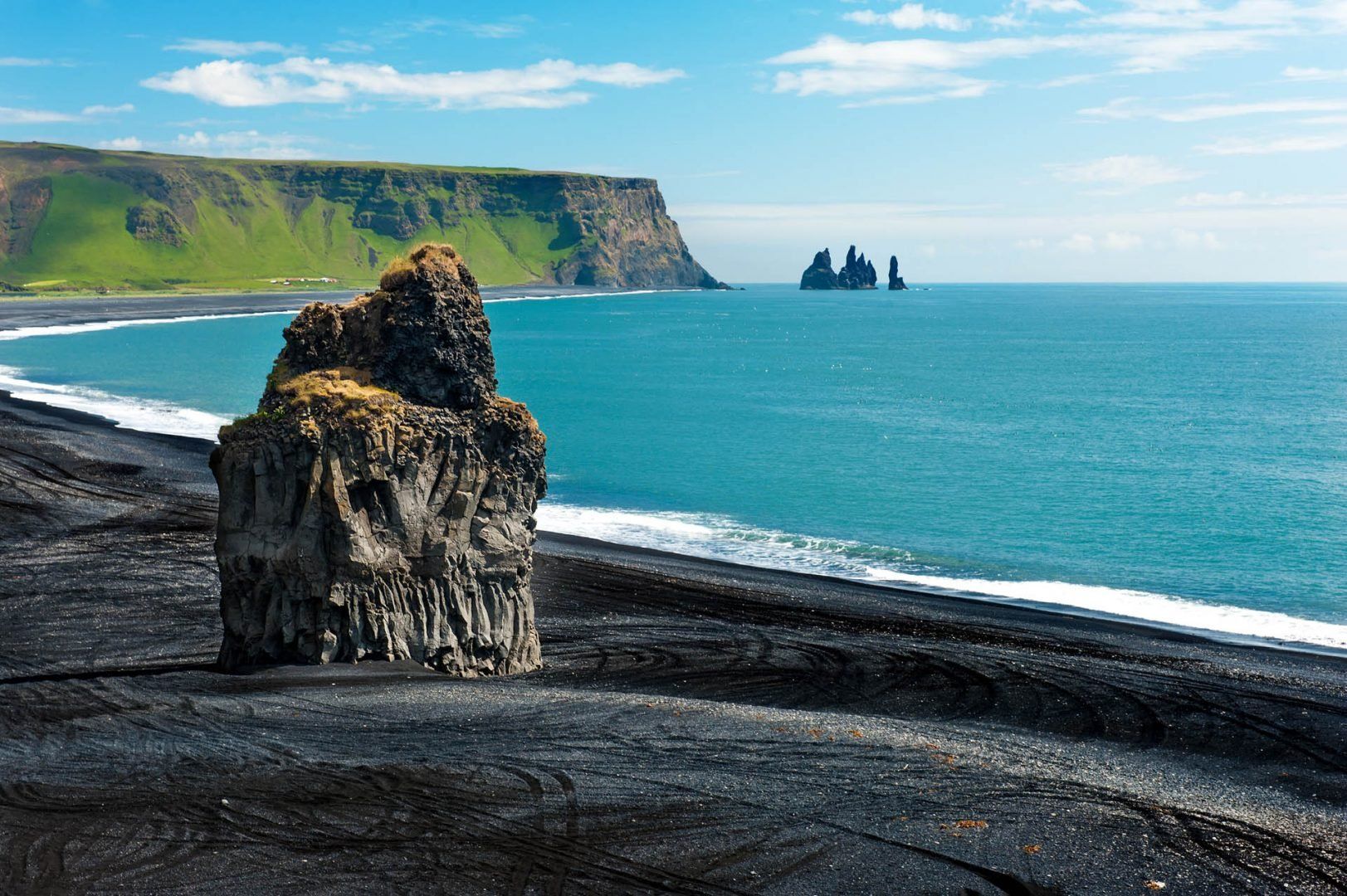
Travel advice for Iceland
From travel safety to visa requirements, discover the best tips for visiting Iceland
Book your individual trip, stress-free with local travel experts
When people picture Iceland, beaches usually aren’t the first thing that comes to mind. But the country’s coastline is surprisingly varied and shaped by some pretty dramatic natural forces—volcanic eruptions, shifting tectonic plates, glaciers, and constant storms off the North Atlantic. Here are some of the best beaches in Iceland to add to your next itinerary.
If you’re curious what beachgoing looks like in Reykjavík, this is where locals go.
The golden sand was brought in to make the lagoon feel more like a traditional beach, but what makes it stand out is the heated seawater. The lagoon stays between 59–66°F (15–19°C), while the ocean nearby stays closer to 50°F (10°C), even in summer.
You can warm up in two hot tubs (around 86–102°F / 30–39°C), then brave the cold sea before looping back again. There’s a basic setup with showers, changing rooms, a café, and gear rentals for paddleboarding and kayaking.
It’s only about 2 miles (3 km) from central Reykjavík. Bus #5 goes straight there, or you can cycle along the path that follows the coast. If you’re driving, just head down Nauthólsvegur and park for free. You can also walk from Perlan—it’s not far.
The beach opens for swimming from May through September. Summer (June–August) has the warmest air temps, usually around 54–59°F (12–15°C). Lifeguards are on duty during the open season. If you want a quieter visit, aim for a sunny weekday morning. The beach stays open in winter but with limited hours and fewer services.
Látravík is one of the Iceland beaches you really have to work to get to, but it’s worth it if you’re looking for something quiet and wild. It’s a curved stretch of golden sand backed by cliffs and open sea.
In summer, puffins nest nearby, and the beach is full of driftwood, pebbles, and birdlife. The water’s crystal clear, and on calm days you can sometimes spot sea life right from shore. There aren’t any built-up facilities, just a couple of trails and basic camping areas, so it’s a good choice if you want a quiet, unplugged experience.
You’ll need a 4x4. From Patreksfjörður, take Route 62 toward Látrabjarg, then follow an unmarked gravel road for the last 4 miles (7 km). It’s a slow drive on a narrow road, so take it easy. You can also hike from Breiðavík—about 3 hours each way. Always check the road and weather conditions before heading out.
Mid-June through early August is best. That’s when the road is usually clear and the puffins are around. Access typically starts in late May and ends once snow hits in September. Summer means 24-hour daylight, but the weather can turn quickly. See more in our guide to the best time to visit Iceland.
Near the town of Vík, Reynisfjara stands out with its black volcanic sand and basalt columns that rise straight out of the beach like something carved by hand. Offshore are the Reynisdrangar sea stacks, which come with their own folklore.
The waves here are no joke—so-called “sneaker waves” can surge up without warning, so you’ll want to stay well back from the water’s edge. It’s also a good spot for birdwatching in the summer, especially puffins. There’s a scenic path connecting the beach to Dyrhólaey for panoramic views. You’ll find restrooms and a restaurant nearby.
It’s about 112 miles (180 km) from Reykjavík, right off the Ring Road. Just turn onto Road 215 south of Vík and follow it for about 4 miles (6 km) to the parking area. Plenty of bus tours include this beach along with Skógafoss and Seljalandsfoss. If you’re driving yourself, it’s an easy 2.5-hour trip from the capital.
You’ll get the most bird activity and milder weather in summer (June–August), with temperatures usually around 46–57°F (8–14°C). Winter brings fewer people and dramatic lighting, especially in the morning or late afternoon. Either way, it’s worth checking the forecast before you go, since the beach is exposed to strong winds and rain.
Sandvik Beach is one of the few places in the world where you can stand on two tectonic plates at once.
The black sand stretches across the Reykjanes Peninsula, right where the North American and Eurasian plates are pulling apart. The black sand stretches out along the Reykjanes Peninsula, right where the North American and Eurasian tectonic plates are slowly pulling apart. There’s a footbridge called the "Bridge Between Continents" that marks the divide.
The landscape around it feels raw—lava fields, steam vents, and a whole lot of wind. There’s not much in the way of infrastructure, just a small parking area and the bridge itself. But if you’re nearby, it’s worth checking out the Gunnuhver hot springs and the lighthouse at Reykjanesviti while you’re in the area.
It’s about a 15-minute drive from Keflavík International Airport. From Reykjavík, head southwest on Route 41, then take Route 44 toward Grindavík. From there, switch to Route 425 and follow the signs for the Bridge Between Continents. Public transport options are limited—there are buses to Grindavík, but you’ll need to get a taxi for the last 3 miles (5 km).
The area is really exposed, so wind is a big factor. Mornings before 11 AM tend to be calmer. You can visit all year, but April through October usually brings easier conditions. In winter, it’s still accessible but expect rougher weather.
Rauðisandur, which means "Red Sand," stretches for nearly 6 miles (10 km) along the southern edge of the Westfjords. The sand here has a warm reddish-gold tone that shifts with the light throughout the day.
It’s a wide, open beach with mountain views in one direction and Snæfellsjökull glacier visible in the distance. If you’re lucky, you might spot seals sunning themselves near the water, and in summer, nesting birds are everywhere.
In summer, the Rauðisandur Café serves waffles and fresh seafood.
From Patreksfjörður, take Route 614 (Rauðasandsvegur). It’s about 12 miles (20 km), but it’s slow going—expect a steep, winding gravel road with tight curves and a 1,150-foot (350 m) descent. A 4x4 is a good idea if it’s wet. It takes around 40 minutes. In summer, there are occasional buses from Patreksfjörður, or you can hike in from Látrabjarg if you're up for a long day (7–8 hours).
Plan your trip between late May and early September—this is when the road is easiest to drive and the café is open. For the best colors, come at low tide on a clear day and aim for late afternoon to early evening (around 5–8 PM) when the sand really glows.
Lóndrangar Beach sits below two huge basalt towers—remains of old volcanic plugs that stick up from the coast like natural spires. One’s about 246 feet (75 m) tall, the other around 200 feet (61 m). From the beach, you’ve got views of the ocean on one side and Snæfellsjökull glacier on the other.
It’s a rocky shoreline with black pebbles, and in summer, the cliffs are packed with nesting seabirds—kittiwakes, fulmars, guillemots. The sound alone is something else. If you walk around a bit, you’ll come across old fishing station ruins and caves. There’s a small parking area and some info signs. Hellnar, just a short drive away, has places to eat or stay.
From Reykjavík, drive north on Route 1, then west on Route 54 into the Snæfellsnes Peninsula. When you reach the Hellnar area, follow signs for Lóndrangar. A gravel road leads to a small parking lot, and it’s about a 15-minute walk down to the beach. Many Reykjavík-based day tours to Snæfellsnes include Lóndrangar—it’s about 2.5 hours one way.
May through September is the easiest time to visit, with clear trails and active bird colonies. Sunset is also a good time—between 9 and 11 PM in summer—when the light hits the cliffs just right. Mornings (8–11 AM) tend to be less windy, which makes for a more comfortable walk. Always check the forecast, especially if you’re planning to hike nearby.
Skarðsvík Beach feels unexpected on the Snæfellsnes Peninsula. Instead of black sand, it’s pale and golden—more like something you’d see in a warmer climate—surrounded by rugged lava fields and basalt cliffs. The contrast makes it feel a bit surreal. You’ll find clear, blue water and shallow tide pools where you can sometimes see starfish, sea anemones, and small crabs. According to local stories, Vikings might’ve buried treasure in the caves nearby.
In summer, it’s one of the few Iceland beaches around here where people actually get in the water—briefly. There’s a small picnic area and basic toilets, but no lifeguards or food stands. The visitor center for Snæfellsjökull National Park isn’t far if you want more background on the area.
You’ll find Skarðsvík at the northwest tip of the Snæfellsnes Peninsula, about 125 miles (200 km) from Reykjavík. Take Route 1 (the Ring Road) west, then turn onto Route 54. Follow Route 574 around the peninsula. Just past Hellissandur, look for a brown sign pointing to Skarðsvík—it’s easy to miss if you’re not watching for it. The last 2 miles (3 km) are on a gravel road, but it’s easy enough to drive in summer.
Summer is the best time for swimming, with water temperatures around 50–54°F (10–12°C) and air temperatures hovering near 54–59°F (12–15°C). If you’re hoping to check out the tide pools, time your visit for low tide.
Diamond Beach is where chunks of ice from the Jökulsárlón glacier lagoon end up after drifting out to sea. They get pushed back onto the black sand by the tides, and depending on the day, you might see anything from small, glassy shards to massive, glowing blocks. You’ll sometimes see seals swimming between the ice or lounging nearby.
The beach runs right along Route 1, just across from the lagoon, so it’s easy to visit. There’s parking on both sides of the bridge, plus a small café in summer.
The beach is right off the Ring Road (Route 1), about 235 miles (380 km) from Reykjavík. It’s directly across from Jökulsárlón glacier lagoon, between Höfn and Skaftafell. There’s parking just before and after the bridge. If you’re taking a tour bus from Reykjavík, it’s doable as a day trip, but long—about 12 hours round-trip. It’s better to stay overnight in Höfn (about 43 miles/70 km east) or Kirkjubæjarklaustur (about 80 miles/130 km west) if you want more time.
You can go any time of year. Winter (November–March) tends to bring bigger ice chunks and fewer people, while summer has better light. If you want to see fresh ice washing up, go during rising tide.
This beach shares space with the harbor where the ferry to the Westman Islands (Vestmannaeyjar) departs, so it has a slightly different feel from Iceland’s more remote beaches. It’s flat and wide, with striking black sand that shifts with the wind and tide, creating swirling patterns. On windy days, you’ll often see kitesurfers here—it’s become a popular launch point because of the open space and steady wind.
Bird watchers might catch glimpses of puffins and shorebirds, especially in spring and early summer.
You can walk along the beach, hunt for driftwood or sea glass, or just watch the ferry make its way through the waves. The harbor has clean restrooms, a seafood café, and plenty of parking.
From Reykjavík, it’s about a 1.5-hour drive—roughly 80 miles (130 km) east on Route 1, then south on Route 254. Just follow the signs for the Vestmannaeyjar ferry. Buses also run daily from Reykjavík and Selfoss and line up with ferry departures. Roads are paved and in good condition, though storms can cause occasional delays in winter. There’s free parking near the terminal.
May through September is the most reliable time to use this harbor, since winter sailings often switch to Þorlákshöfn due to rough seas. If you’re interested in kitesurfing, the wind tends to be strongest from 1 to 4 PM.
Ytri-Tunga is one of the few beaches in Iceland where you can reliably see seals lounging on the rocks just offshore. The sand here is golden—a bit of a rarity on the Snæfellsnes Peninsula, which is mostly known for black sand and lava fields.
There’s a permanent harbor seal colony, and they tend to hang out on the skerries, sometimes watching people as curiously as they're being watched.
The beach also has tide pools, interesting rock formations, and wide views over Faxaflói Bay. If you're interested in birdwatching, keep an eye out for Arctic terns, eiders, and the occasional sea eagle.
A short trail from the parking lot leads through meadows that bloom with wildflowers in summer.
Ytri-Tunga is on the southern edge of the Snæfellsnes Peninsula, about 93 miles (150 km) from Reykjavík. Take Route 1 and then turn onto Route 54 heading west. Watch for a brown sign for Ytri-Tunga—it’s around halfway between Búðir and Arnarstapi. There’s a short gravel road to the parking lot, and it’s a quick five-minute walk to the beach. The road stays accessible all year, though you’ll want to be extra cautious in winter.
The best seal-watching tends to be in the mornings between 8 and 11 AM, especially in summer when tides are lower. July and August have the warmest weather for exploring the beach.
Meleyri Beach runs for about 3 miles (5 km) along Borgarfjörður’s eastern shore and is one of the few natural sandy stretches in this part of Iceland.
It’s calm, easy to reach, and gets a bit warmer than most beaches—sometimes hitting 59°F (15°C) in midsummer—so it’s actually swimmable for those who can handle a brisk dip.
Sunsets here are especially nice, with the fjord reflecting the colors and distant mountains framing the view. There’s local folklore about huldufólk (hidden people) living among the nearby rocks.
Birdwatchers can expect to see Arctic terns and oystercatchers. You’ll find restaurants, places to stay, and the Settlement Center museum nearby in Borgarnes.
Drive north from Reykjavík on Route 1 for about 43 miles (70 km) to reach Borgarnes. From the eastern edge of town, take Route 54 and follow signs to Meleyri—there’s a right turn onto a gravel road that’s in good condition. The beach is just under 2 miles (3 km) from the main road.
June through early September is best if you want warmer water and long daylight hours—sunsets can last well past 10 PM. For a swim, aim for mid-afternoon when temperatures are highest.
Dyrhólaey sits at the base of a 400-foot (120-meter) cliff with a massive sea arch that's visible from the nearby viewpoints. On a clear day, you can see all the way to the Reynisdrangar sea stacks to the east and even some glaciers to the north. From May to August, puffins nest in the cliffs, and it’s one of the easier places to see them up close without needing a long hike.
There’s also a lighthouse at the top and the remains of old shipwrecks scattered through the black sand. Unlike some nearby beaches, Dyrhólaey has elevated viewpoints, so you can get a good look at the coast without needing to climb over rocks or deal with waves.
It’s about 112 miles (180 km) from Reykjavík—head east on Route 1, then turn south on Route 218 near Vík. The road splits: the lower road leads to the beach, while the upper fork takes you to the lighthouse and main viewpoint. During puffin season in early summer, access might be limited to protect the birds. The upper road can get rough, so a 4x4 is better for that section. Regular cars can manage the lower road.
For puffins, plan to come between mid-May and August, especially early in the morning (7–10 AM). Closures sometimes happen in early May during the start of nesting, so check ahead.
Búðir Beach is a strip of golden sand and old lava fields, with the black church nearby adding to the dramatic landscape. It’s part of a nature reserve on the southern edge of the Snæfellsnes Peninsula, where the Búðahraun lava field runs into Faxaflói Bay.
The area’s dunes are home to rare plants, including wild Angelica, and at low tide, tide pools reveal colorful marine life. If you're lucky, you might spot a harbor porpoise offshore—or even a whale. There’s also some history here—trading posts and settlement remains dating back to the 11th century. The nearby Hotel Búðir is known for its food and atmosphere, and walking trails connect the beach to the surrounding lava and wetlands.
Búðir is on the southern coast of the Snæfellsnes Peninsula, about 93 miles (150 km) from Reykjavík. From the city, take Route 1 north and then Route 54 west—just follow the signs for Búðir. The last stretch is a gravel road, but it's easy to drive. You’ll see the black church before you reach the small parking area. Public transport is limited, but in summer, shuttle buses run between major sites on the peninsula, including Búðir.
Summer evenings between 7 and 10 PM are a good time for photos, with the low sun casting dramatic light. If you’re interested in tide pools, go at low tide when the shoreline really opens up. October brings fewer visitors and beautiful fall colors, but the weather can be unpredictable. Winter trips take more planning—roads can be icy—but the beach is peaceful and there's a chance of seeing the Northern Lights.
Djúpalónssandur has a moody, wild look—black pebbles instead of sand, old shipwreck pieces rusting on the shore, and lava formations leading down to the water.
This used to be a fishing station, and the remains of the British trawler Epine, wrecked in 1948, are still scattered here as a memorial. Near the beach, you’ll see four large stones once used to test fishermen’s strength—if you couldn’t lift the heaviest, you didn’t get the job.
The lava field around the beach includes features like Gatklettur, a rock with a hole, and Söngklettur, said to sing when the wind hits it right. There aren’t many facilities, just restrooms and info boards, but you can find food and lodging in nearby Hellnar or Arnarstapi.
From Reykjavík, drive north to Borgarnes and take Route 54 west around the peninsula. Near Hellissandur, you’ll see signs for Djúpalónssandur. The final road is gravel but well-kept, leading to a small car park. It’s about a 10-minute walk through lava formations down to the beach.
Summer is the easiest time to walk here and catch good weather, but the beach has a unique feel in every season. If you're coming in winter, aim for midday between 11 AM and 2 PM to make the most of the limited daylight. Watch for warning signs—waves here can be dangerous and unpredictable, no matter the season.
Breiðavík Beach curves along the Westfjords in a wide arc of pale sand that looks almost out of place in Iceland.
It's about 1.8 miles (3 km) long and faces the ocean near the towering Látrabjarg cliffs, known for birdlife and dramatic views. This beach is relatively sheltered, so in summer, the water is calm enough for a swim—if you can handle the temperature.
Trails lead out to other coves and old farm ruins, with great hiking and quiet views along the way. Breiðavík is a favorite among birdwatchers, especially for species like the red-throated loon and great skua. There’s a seasonal hotel in a former schoolhouse nearby, with meals made from local ingredients.
Breiðavík is in the Westfjords, about 250 miles (400 km) from Reykjavík. One route takes you to Stykkishólmur, where you can catch the Baldur ferry to Brjánslækur, then drive on Routes 62 and 612. Or you can drive the whole way via the Westfjords Way. Either way, the final stretch is gravel but manageable in summer with a standard car. You’ll want to allow a full day for travel from Reykjavík.
The best time to go is from early June to late August, when roads are open and the hotel is running. Evening light between 8 and 11 PM makes the sand glow and casts dramatic shadows on the cliffs. July usually brings the most stable weather and the best birdwatching conditions.
written by
Dre Roelandt
updated 16.07.2025
Dre Roelandt is originally from the United States but lives and works in Berlin, Germany. Dre is a freelance writer and artist with a passion for travelling. They are an in-house Senior Content Editor at Rough Guides.
Use Rough Guides' trusted partners for great rates
From travel safety to visa requirements, discover the best tips for visiting Iceland
Discover Iceland's most captivating stories