Travel tips for visiting the Western Desert Oases
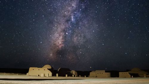
The 21st-century wonders have not obscured the essential miracle of water, gushing hot or cold from barren rock to irrigate acres of garden in the midst of a wasteland.
From the Nile, the Sahara stretches 5,000km (3,000 miles) westward to the Atlantic. The world’s greatest expanse of desert is broken only by dots of green, where human habitation has survived the spread of sands.
Contrary to popular imagination, oases generally lie in rocky lands where wind and time have scratched out vast depressions whose depths allow natural underground aquifers to reach the surface.
In Egypt’s Western Desert, a single aquifer flows north from Sudan, running in an arc of five oases roughly parallel to the Nile. Prehistoric remains show that man has been exploiting nature’s gift since at least 5000 BC.
Under the pharaohs, the four Nileward oases – Kharga, Dakhla, Farafra and Bahariya – formed a useful line of defence against Libyan tribes. These days the desert and the oases are popular with wealthy Cairenes and ex-pats who happily exchange the city’s noise and pollution for a weekend of peace and quiet in the desert.
Looking for inspiration for your trip? Talk to our Egyptian travel experts.
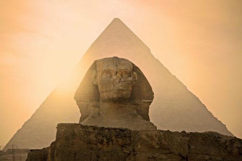
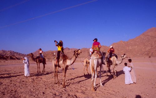
IMAGE
© Shutterstock
What to do in the Western Desert Oases
Nearly all visitors head to the Western Desert to visit a collection of oases located here, but with the advent of tourism, expect more tours and adventure travel options to spring up too.
#1 Faiyum oasis
Sprouting from the west bank of the Nile like a tender leaf, Faiyum (also spelled Fayoum), some 100km (62 miles) southwest of Cairo, is referred to by some as Egypt’s largest oasis.
Others deny that it is an oasis at all, as it is fed not by springs but by the Bahr Yussef, an ancient Nile canal. Until recently, Faiyum was called Al-Fayyum, roughly meaning “the Sea Lake”; it was renamed when it was made the capital of the modern Faiyum Governorate.
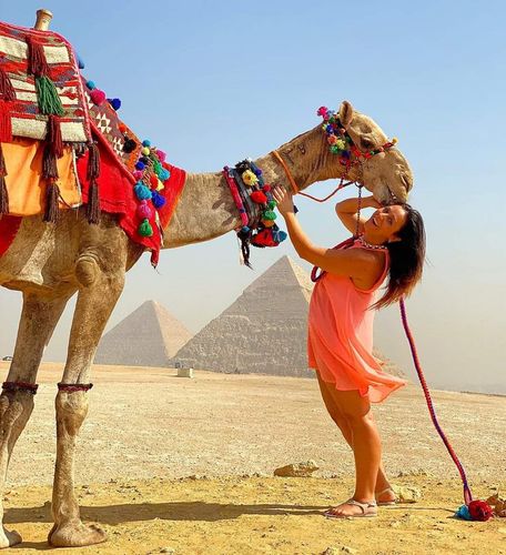
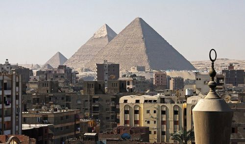
An excellent road across the desert connects Faiyum to Cairo, two hours away (leaving Cairo from behind the Giza Pyramids). Alternatively, it can be reached from the more scenic Nile road to Upper Egypt.
#2 Siwa oasis
Lying 780km (485 miles) west of Cairo, the most remote and perhaps the most engaging of Egypt’s oases, Siwa is unusual in Egypt in that it has a distinct culture and its own language, related to the Berber languages of North Africa.
It evolved as a well-watered stopping point in the desert, on the Haj pilgrimage route from the coast of northeastern Libya through to the Red Sea, and thus developed many Berber connections.
Until the 1980s when a highway was completed connecting it to the coastal town of Mersa Mahruh, it was completely isolated from the rest of the country. Today the modern Libyan border lies only 50km (31 miles) to the east.
It is not your stereotypical palm grove with a watering hole, but Siwa covers a large area of date palms and olive trees fed by underground springs – and there’s a central salt lake.
#3 Bahariya oasis
Bahariya is reached from Cairo by an excellent road that leads westward off the Faiyum desert road behind the Giza Pyramids. About 330 rather dull kilometres, or 205 miles, later is a new settlement around Egypt’s only iron-ore mines.
Not far beyond the mines, the road descends to Bahariya Oasis, which lies in a depression of the Western Desert covering around 2,000 sq km, or 770 sq miles. Its position makes it a strong addition to 9-day Egypt trips that combine Cairo with the Western Desert. Bahariya consists of many villages, of which Bawiti is the largest and the administrative centre.
Bawiti sits atop a rock outcrop. To the north, cliffs drop abruptly into a sea of palms, while the town’s gardens spread for several kilometres along the base of the cliff. Within the gardens, land is so precious that there are few walkways, and it is often necessary to paddle through the irrigation channels.
#4 Farafra oasis
From Bahariya, a well-travelled road goes southeast, through 185km (115 miles) of some of Egypt’s most spectacular scenery, including the White Desert to the Farafra Oasis.
The village of some 15,000 inhabitants has some fine old mudbrick houses built up against the side of a hill, and the oasis has more than 100 natural springs.
The palm gardens on the edge of town are lush, green and full of date palms, olive trees and orange groves. Farafra is also well known for cultivating watermelons. In spite of good road connections, Farafra feels a long way from anywhere (it is 200km/120 miles from Dakhla Oasis, the next town on the desert loop).
Wander around and visit Bir Sitta, sulphurous hot springs 6km (3.75 miles) west of the village, which are now harnessed in a concrete pool. The steaming hot 38ºC (100ºF) waters are said to aid muscle and joint recovery.
#5 Dakhla oasis
Dakhla Oasis (“the inner oasis”) measures approximately 80km (50 miles) from east to west and 25km (15 miles) from north to south. It has a population of around 80,000 spread across 16 villages.
Well supplied with water from more than 500 springs and pools, the area is a major producer of wheat, mangoes, olives, dates, figs, mulberries and citrus fruits, all of which are exported throughout Egypt; indeed, no trip to Dakhla would be complete without a walk through its fragrant fields and gardens.
The New Valley Project, an ambitious scheme to bring water from Lake Nasser to irrigate the Western Desert, has more than doubled Dakhla’s size in recent years, but it retains more of its original laid-back charm than Kharga, to which it is connected by a 190 km (120-mile) road and daily buses.
#6 Kharga oasis
Kharga (“the outer oasis”) is the largest and most developed of Egypt’s oases, by virtue of its proximity to the Nile and because it is the seat of the New Valley Governorate.
Five kilometres (3 miles) north of Asyut, a paved road leads past industrial complexes up into the desert. About 230km (143 miles) of barren gravel later, the road suddenly descends a magnificent cliff into the Kharga Depression, which extends southward, narrowing at its extremity, for 100km (60 miles).
Visitors to the oasis should realise it is merely an administrative centre and has little of the appeal normally associated with oases such as Siwa or Bahariya, although much of the population consists of resettled Upper Egyptians, and the hotels, duck farms and packaging industries point to some degree of prosperity.
Best places to stay
Most of the Western Desert Oases have numerous places to stay, including the option to camp out on the sands.
Bawiti
Bawiti has the best and widest choice of accommodation of all the oases, including hotels and guesthouses.
Siwa
In the town itself, there are lots of places to bed down from cheap guesthouses to five-star resorts. A little further out, there are more midrange options.
Farafra
There are a few basic hotels in Farafra, plus the popular Al Badawiya Hotel.
Al Kharga
Al Kharga only has a few basic places to stay.
Dakhla
For Dakhla, head to Mut to stay over. There aren't loads of options but enough in striking distance for the oasis.
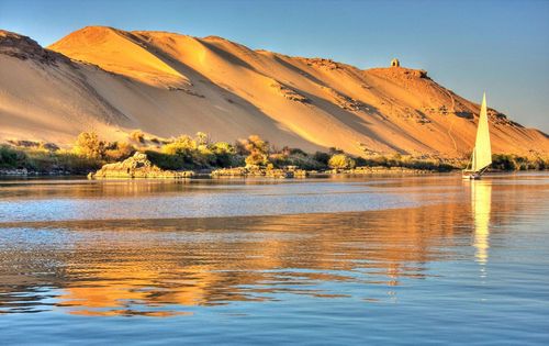
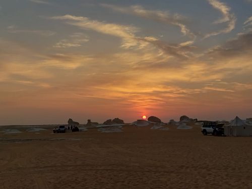
IMAGE
© Shutterstock
How to get around
Getting around the Western Desert Oases in Egypt can be challenging, but there are several transportation options available.
By bus
Getting around the Western Desert Oases by bus can be a bit of a challenge as the area is vast and public transportation options are limited.
There are daily buses that connect Cairo to Bahariya (5-6 hours) and to Siwa (10-12 hours).
By train
There are no train lines that run directly through the Western Desert Oases in Egypt. The closest train station is at Asyut, 200km to the east. From there, get the bus to reach your desired oasis.
By taxi
Taxi drivers will take visitors to any of the oases for a fixed fee. Agree on a price beforehand.