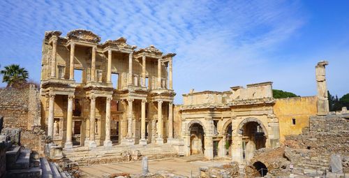
Boat trips from Ölüdeniz
A wide range of boat trips operate from Belceğiz, to some beautiful and fascinating destinations including remote coves, islets such as Gemiler, and Byzantine ruins. Among the potential pitfalls are limp lunches, bored guides and stops that are either rushed or missed out altogether.
The cheapest and most popular destination is the so-called Butterfly Valley (Kelebek Vadisi), a beach backed by a limestone canyon just inland (3 dolmuş boats, daily mid-May to Oct 11am–6pm; TL15 return). Named after the many species that flutter about during the right seasons, it also holds a waterfall, 20min inland (TL5 admission). The beach itself is frequented by an uneasy mix of day-trippers sipping overpriced beers at the café, and New Age patrons attending regular yoga, Indian dance and healing seminars while staying in basic tent-or-bungalow accommodation (wthebutterflyvalley.blogspot.com).
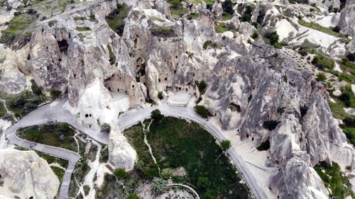
The walk from Kaya Köyü to Ölüdeniz
A popular walk from Kaya Köyü leads along a spectacular coastal path, affording great views out to sea and, eventually, down onto Turkey’s most photographed beach, Ölüdeniz. Mostly downhill, it takes between ninety minutes and two hours to reach the northwest shore of the lagoon, and another half-hour or so to the main dolmuş stop.
The route begins in Kaya at the easterly Taksiarhis church (aka Yukarı Kilise). Although it’s fairly well marked by red-and-yellow blazes, it’s essential to take care, as you could easily wander off-trail into potentially hazardous gully and cliff terrain. Ignore blue or rust-red paint blobs that would lead you over the pass with a windmill, chapel and Turkish flag. The proper path climbs somewhat faintly to a plateau within 15min, then levels out through pine woods for another 20min, before reaching fine overviews of Aya Nikola and Soğuk Su, and a stretch of well-engineered, cobbled, descending path. This ends at some charcoal-burners’ flats, with a less distinct path to a large rectangular cistern just beyond, before the head of a ravine. Here the trail appears to split; the left-hand option is easier going. Just under an hour along, both routes converge before you reach an obvious pass with some pine-studded rocks on the right, affording the first eyeful of the lagoon. From here you’ve an uncomplicated, if sharp, drop to the first sunbed concession on the shore.