Regions in England
A little country with an illustrious history, England’s dynamic cities, sleepy villages, lush green moorlands and craggy coastlines create a rich cultural and natural landscape. Explore England’s northern and southern counties, rural shires, medieval towns and major cities, using our map of England to start planning your trip.
You won’t be short of things to do in this diminutive but diverse country: catch an Elizabethan performance at Shakespeare’s Globe Theatre, then go for a wander along London’s Southbank for some of the capital’s most exciting cultural offerings.
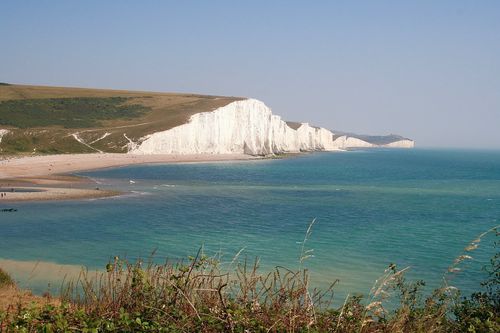
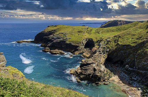
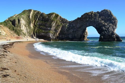
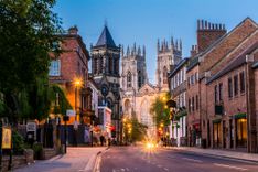
If you’re keen to escape the city, travel south-west to explore Cornwall’s Lizard peninsula, where 100ft cliffs and arches of serpentine rock lend a dramatic backdrop to excellent swimming. Or head to the north of England to discover the country’s industrial heartland, the picturesque Lake District and the medieval walled city of York. No wonder England made it to the list of most beautiful countries in the world, as voted by our readers.
The cross-country distances are relatively small compared to other European countries, so you can get from the Northwest to the south coast within a day. Looking at a map of England’s regions and cities, you can start plotting your route and work out how to get around from each place. The capital city of London is well connected to the other major cities in the north and west country.
Use our England map below to find a destination guide for each region and city. Or find other UK maps with our Wales map, Scotland map and map of Northern Ireland.
If you are planning to travel, check out England itineraries, read more on the best places to go in England, learn about getting there and where to stay once you are there.