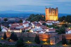
#4 Explore Linhares da Beira
Linhares da Beira is a medieval granite village built on a ridge above the Mondego Valley. A quiet maze of narrow lanes, stone houses, and small squares, it feels mostly unchanged in the last few hundred years. The castle still watches over the village, its towers partly ruined but climbable, with sweeping views across the valley below.
The streets are made for wandering. Look out for Romanesque arches, old sundials, and carved dates above doors. The village is also a paragliding hotspot. If the wind’s right, you might see someone take off from the castle wall and disappear into the blue.
There’s a café on the main square and not much else, but that’s part of the appeal. If you want to see what life looked like in Portugal centuries ago, without crowds or fanfare, Linhares delivers.
#5 Try queijo da Serra where it’s made
No trip to Serra da Estrela is complete without trying the cheese that defines it. Queijo da Serra is rich, salty, and spoon-soft, made from raw sheep’s milk and traditionally produced in the cold months. It’s best eaten with crusty bread and local honey, and you’ll find it everywhere from mountain taverns to roadside stalls.
To go beyond just tasting, head to a working dairy or co-op. Around Seia, Manteigas, and Celorico da Beira, small farms still follow the old methods. Some offer visits if arranged in advance. You’ll see how the milk is curdled, pressed, and aged in cool stone cellars.
Even if you don’t visit a producer, tasting it up here, close to where it’s made, is different. The mountain air adds something you won’t get from the supermarket version.
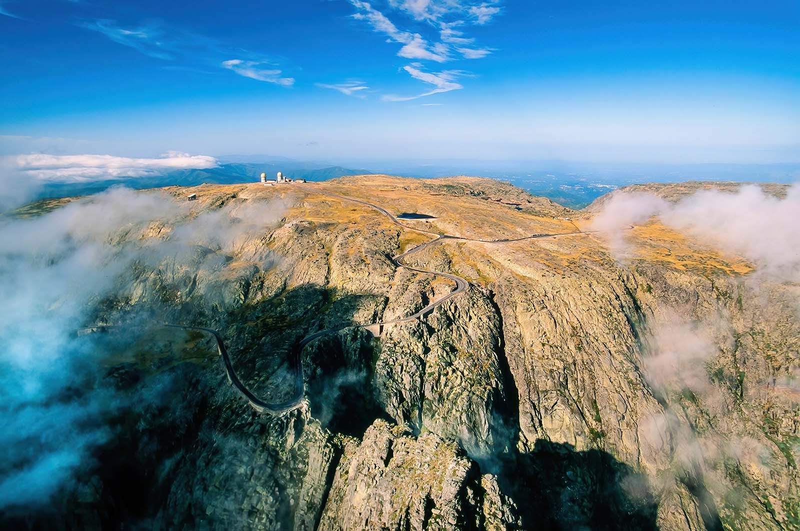
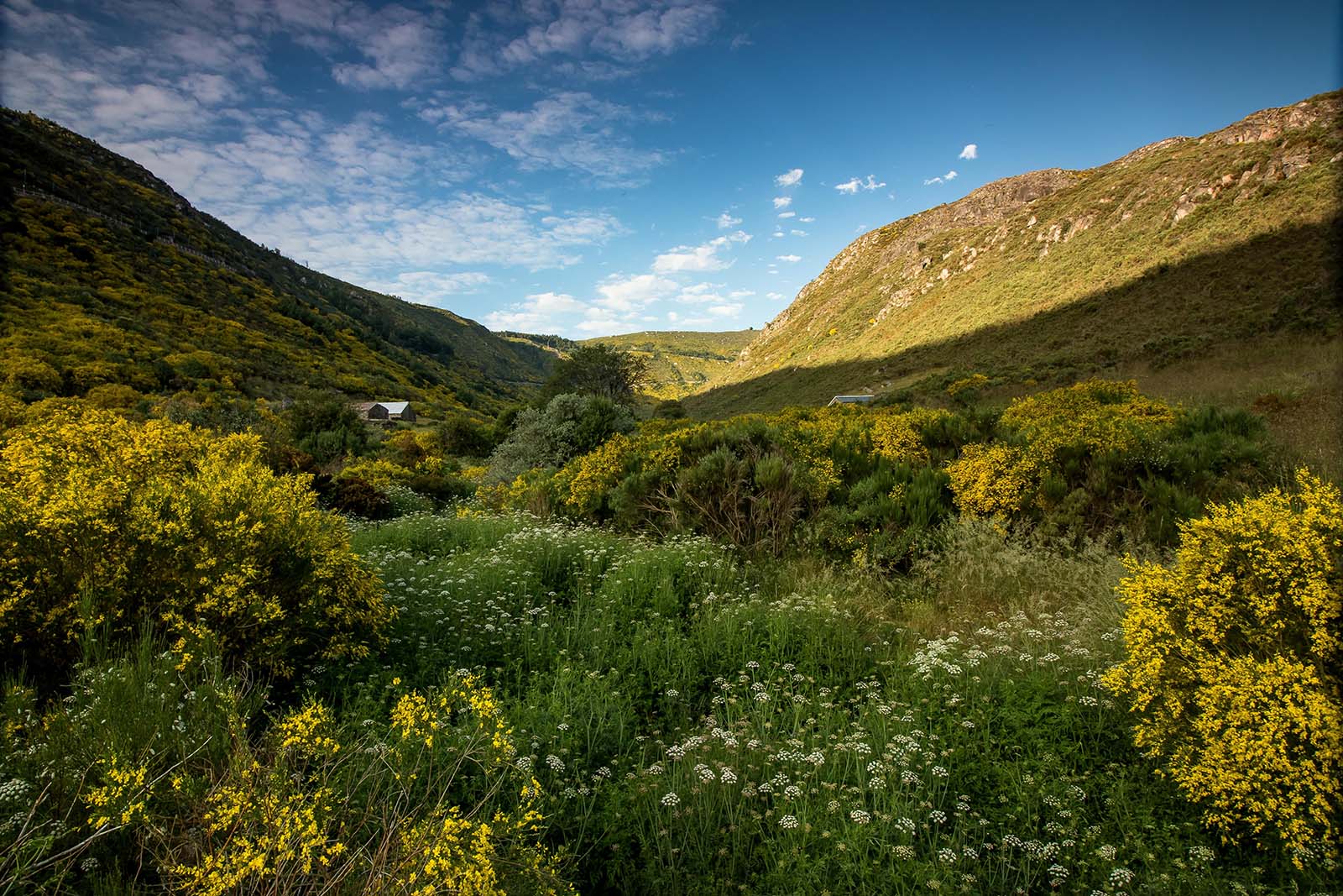
#6 Walk the Loriga Glacial Valley
This valley offers one of the most underrated walks in the region. Carved by ancient glaciers and flanked by rugged ridgelines, the trail above Loriga leads through high pastures, granite fields, and vast empty slopes. It’s quieter than the Zêzere Valley and feels more remote, even though the trail is well marked.
Start in the village and climb toward the upper valley. You’ll pass shepherd shelters, seasonal springs, and terraced fields still used for grazing. In spring, wildflowers bloom between the rocks. In autumn, the light cuts sharply and the air smells like cold stone.
It’s a half-day loop if you move steadily, or longer if you branch off to higher viewpoints. There are no cafés or services along the way, so bring water, food, and layers.
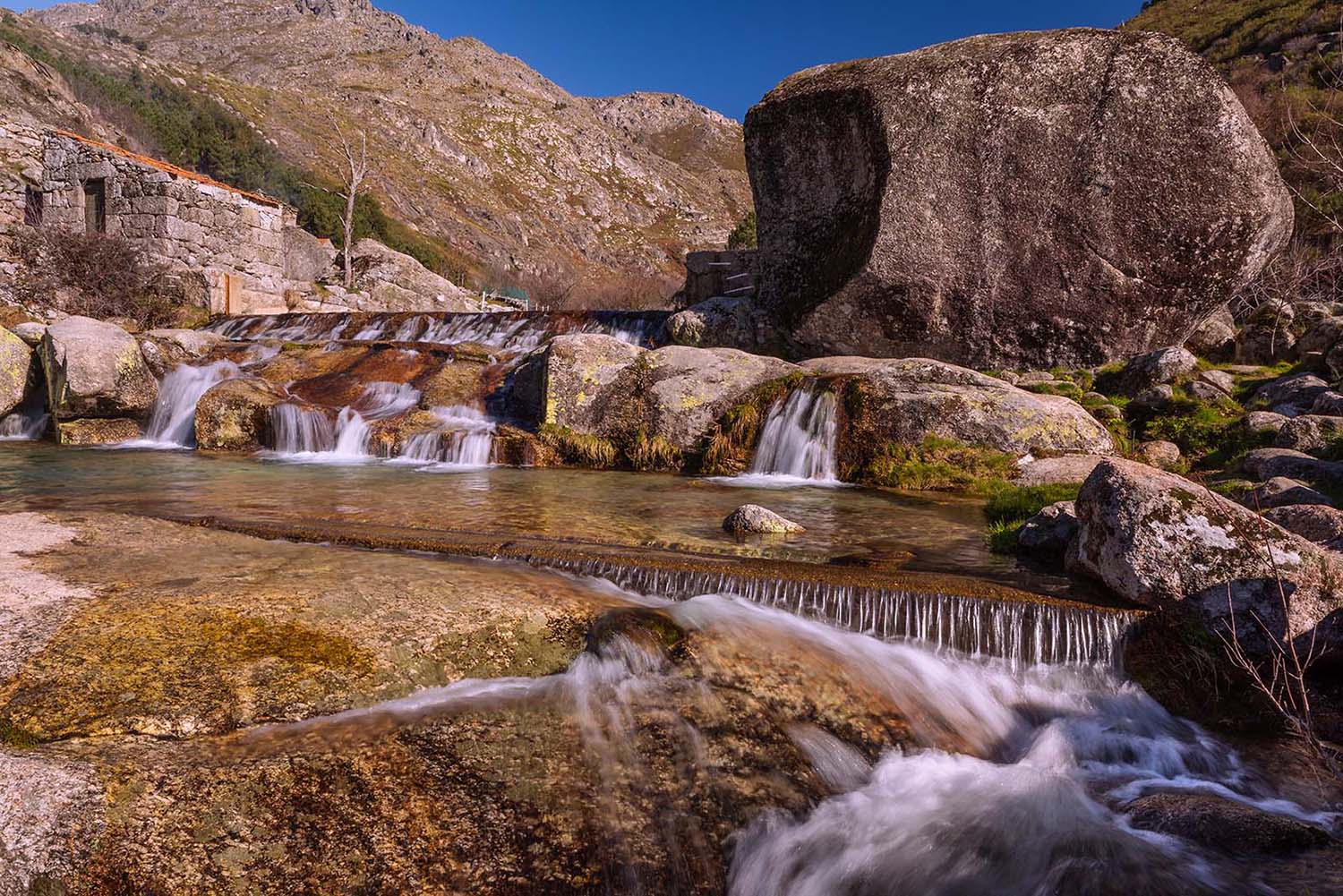
#7 Picnic at Covão d’Ametade
Covão d’Ametade is a quiet glacial basin tucked below the road to Torre, shaded by birch trees and threaded with the clear waters of the Zêzere River. It’s where the river begins, not with a roar but a gentle trickle through grass and moss.
The area is flat and open, with granite cliffs rising on all sides. In spring, the trees are bright green. In autumn, the leaves turn yellow and fall into the water. There are a few picnic tables, but the best spots are on the grass under the trees.
There are no shops or toilets here, so come prepared with everything you need. If you arrive early or late in the day, you’ll likely have it to yourself. The only sound is water moving downhill and wind rustling through the birch leaves. It’s a perfect stop between hikes or a slow destination in its own right.

 Travel Expert