Tips for getting around
The Mekong Delta offers boat tours, motorbike rentals, public transportation, private cars/drivers, and diverse attractions. Planning ahead is key, especially regarding weather conditions. Heat, humidity, and heavy rain can affect the region. Dressing appropriately and staying hydrated will make your travels more comfortable.
By motorcycle and bike
With the main roads in the Mekong Delta often congested with traffic, it's a great idea to rent a bike or motorbike. This is a fantastic way to fully immerse yourself in the unhurried life of the region.
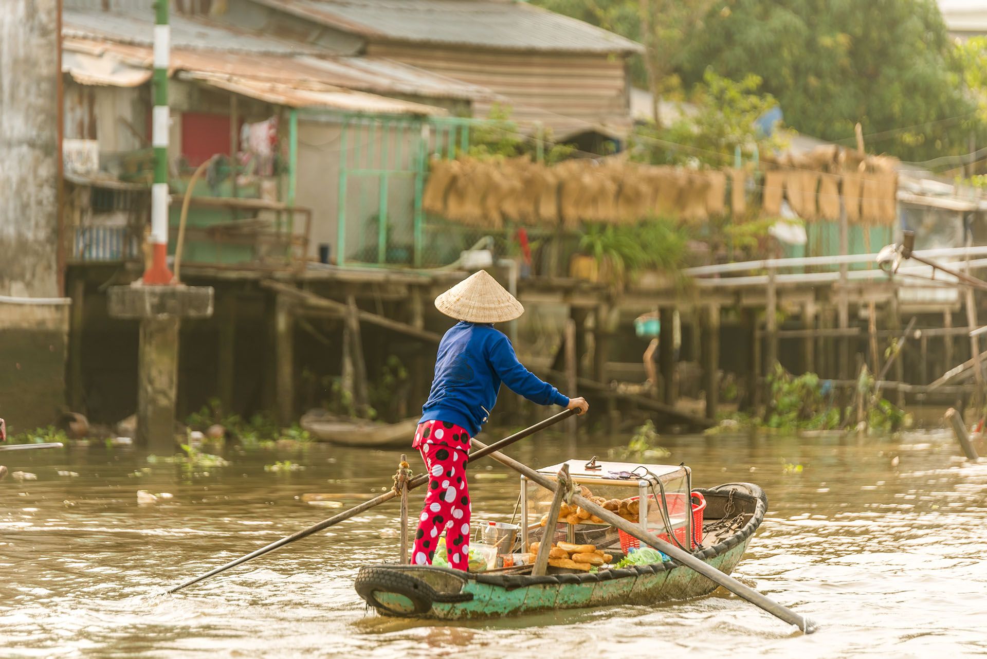
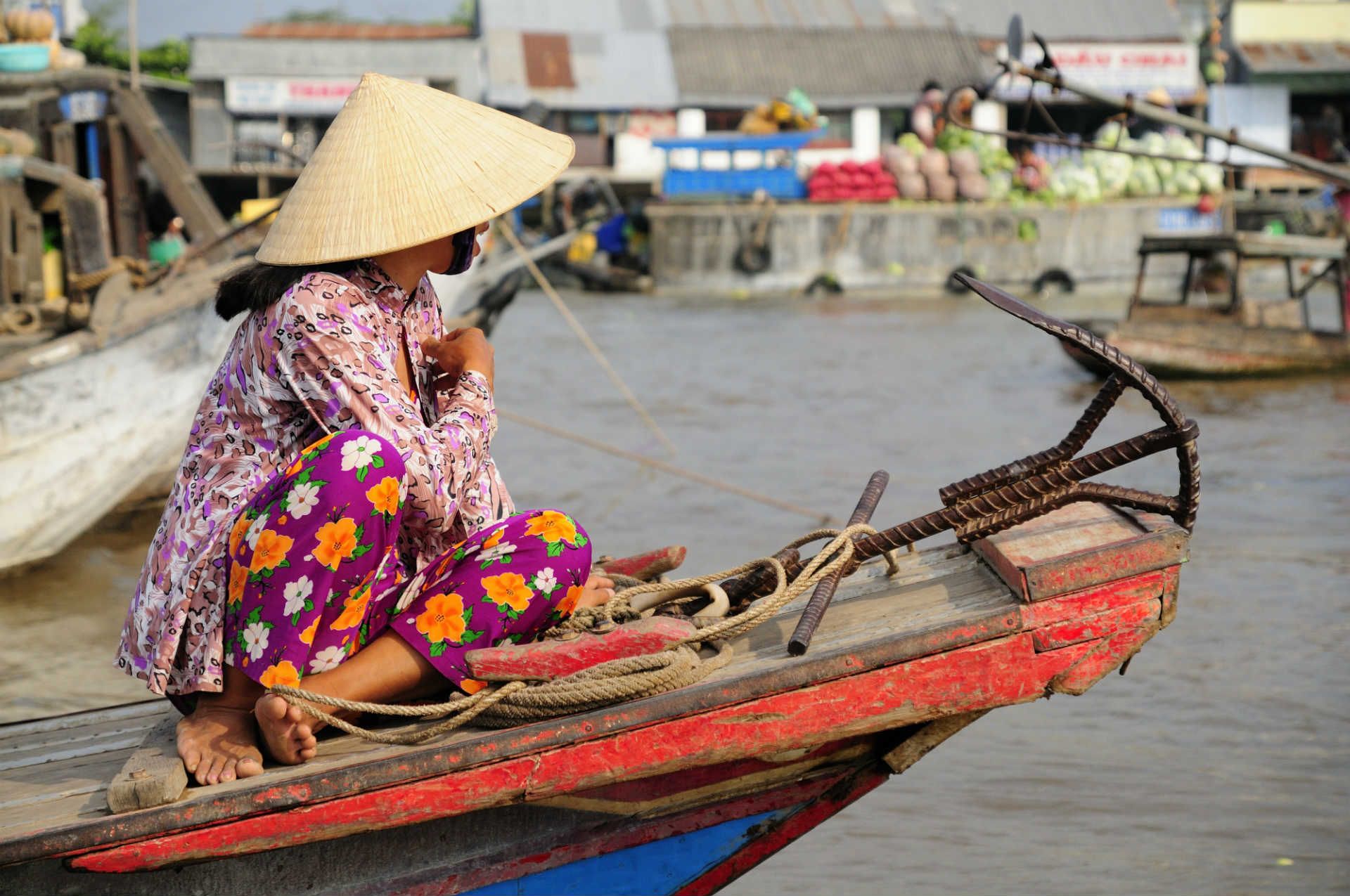
By boat
Locals used to do much of their travelling on the cargo boats that still crawl around the delta’s waterways. However, the increased prevalence of motorbikes has led to many routes being cut, and this is no longer a viable way of getting around for visitors.
By bus
There are plenty of bus services to and around the delta, though journeys can be long, and the scenery samey and uninspiring. Traffic has to stop occasionally at the ferries that make road travel in the delta possible, though the completion of some long-awaited bridges has sped up travel times.
Want to know more useful information about Vietnam before your trip? Read our Vietnam travel tips.
The best time to visit the Mekong Delta
The best time to visit the Mekong Delta is during the dry season, which lasts from December to May. During this period, the weather is generally sunny and dry, and the water levels are lower, making it easier to explore the region's waterways.
The wet season, from June to November, can be more challenging for travel due to frequent heavy rain and flooding. However, it's also a great time to witness the vibrant greenery and lush landscapes of the delta, as well as experience the annual floating markets that take place during this time.
RoughGuides Tip: read all about the weather in Vietnam in Best time to Visit Vietnam